Agriculture is shifting from manual intuition to data-driven decision-making. The change is not cosmetic — it is structural. Farmers who once relied on visual inspection and scheduled interventions are moving toward continuous, sensor-driven field intelligence.
What Drones Enable at Field Scale
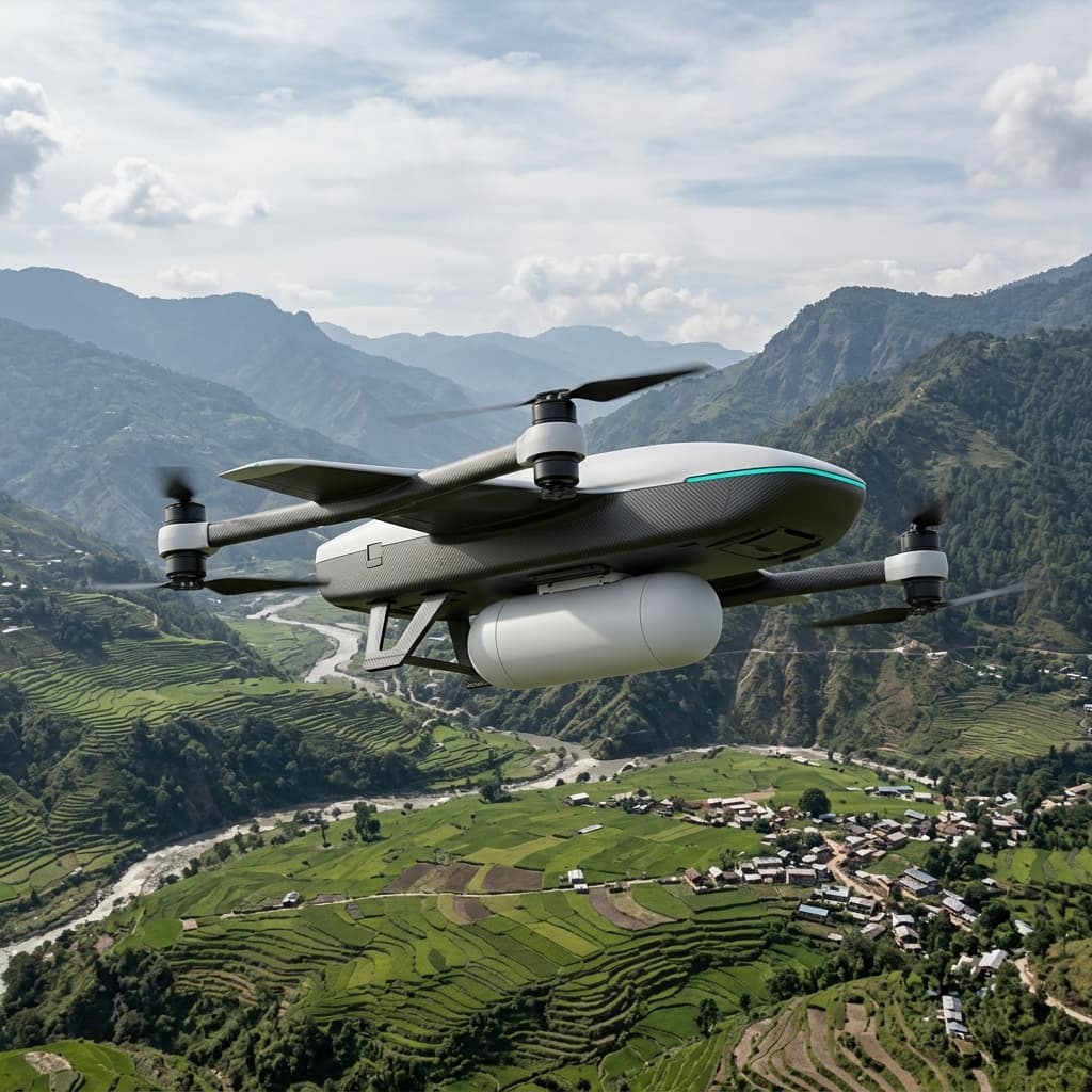
A drone covering a hundred-acre farm in under forty minutes generates more actionable data than a human team could collect in a week. The information is precisely georeferenced, reproducible, and interpretable by agronomic models that recommend specific responses.
For large-scale farms, drones reduce operational costs by up to 40% while increasing yield quality — not by doing more, but by applying resources exactly where they are needed.
The Data Infrastructure Behind the Result
The drone itself is the sensor platform. The value lives in the processing pipeline that converts raw imagery into agronomic decisions. Hovernest Agriculture systems integrate multispectral capture with onboard preprocessing — NDVI, NDRE, and CWSI indices computed mid-flight — so operators receive actionable outputs, not raw files.
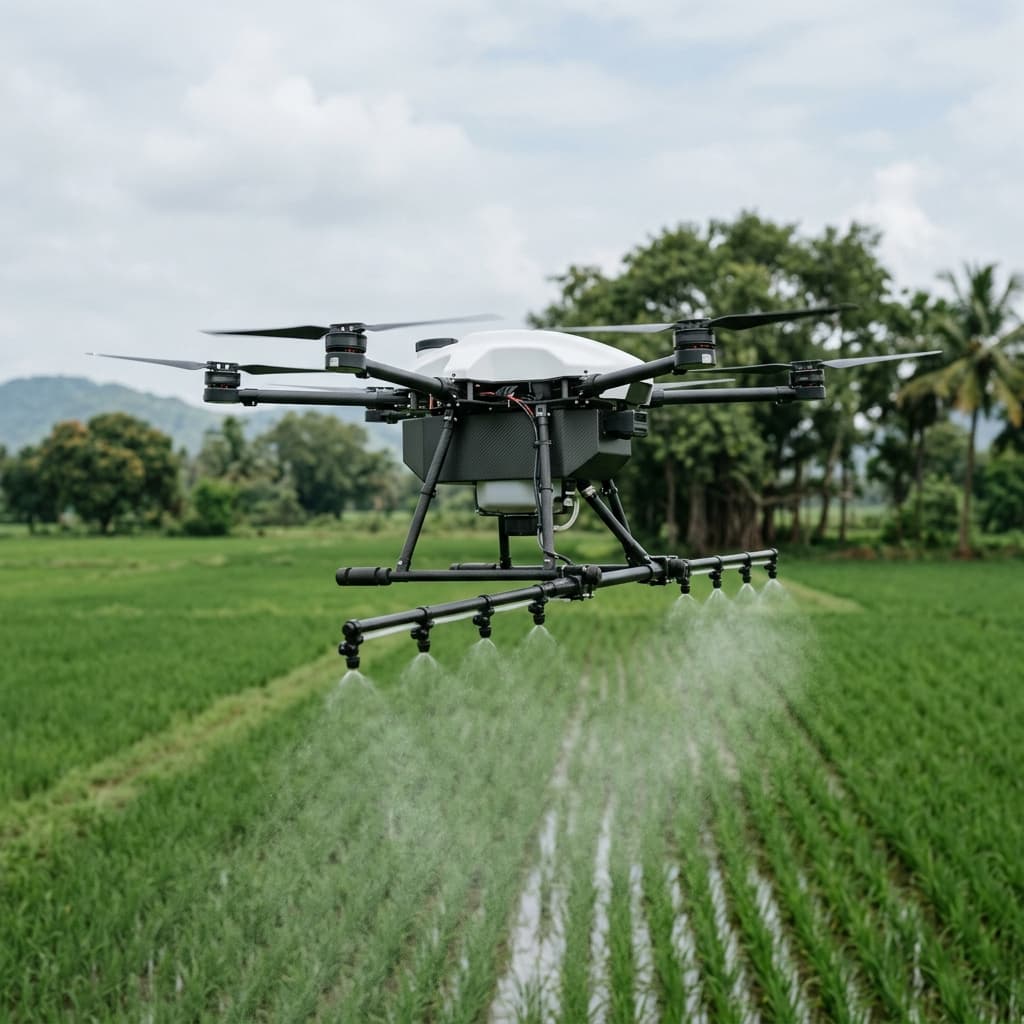
Spray missions are planned from the same dataset. Variable-rate application maps are generated automatically and uploaded to the spray platform before the second mission begins. The result is a closed loop: observe, analyse, act, verify — completed within hours rather than crop cycles.
What Scale Changes
The economics change non-linearly with scale. At twenty acres, drones are convenient. At two thousand, they become the only viable approach to data-driven crop management. The farms that adopt this methodology earliest will hold a compounding yield and cost advantage that widens each season.